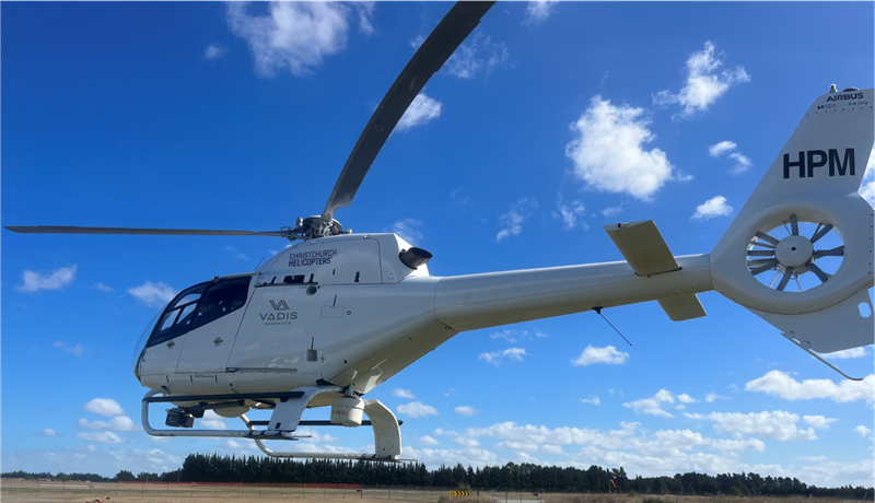
Orion is carrying out an aerial LiDAR (Light Detection and Ranging) survey of our electricity network.
With a network region spanning over 8000 square kilometres, covering rural and urban areas, and serving over 229,000 customers, there's a fair bit of ground to cover. We will have helicopters operating throughout November and early December.
“This is part of our commitment to providing our community with a safe, reliable and resilient network. It will help us identify potential hazards, such as trees and vegetation close to our assets, so we can better manage them before they cause power outages,” says Orion General Manager Electricity Network Steve Macdonald.
All flights will be conducted by Christchurch Helicopters and will comply with New Zealand Civil Aviation Authority (CAA) regulations and privacy guidelines.
LiDAR is a remote sensing technology that uses laser pulses to create detailed three-dimensional maps of the landscape and objects, such as power lines and vegetation.
We are using LiDAR in this survey because it provides highly accurate data that allows us to precisely map and monitor our network assets, ensuring we can detect and address potential issues before they impact our service reliability.
If you need further information, check our project page or please call our Customer Support team anytime on 0800 363 9898.

